

Create successful, sustainable landscapes with Sunscape Maps
Sunscape Extension Maps Accurate Sun Exposure
Using geolocation, solar north, and historical cloud cover data for accurate, reliable results.
See precision Sun Exposure for any model surface without effect to your actual model.
Sunscape Extension helps you create endurable landscapes by calculating and displaying sun Exposure on a model facsimile.
Any Model Surface
〰️
Any Date Range
〰️
Any Day Time Span
〰️
Any Model Surface 〰️ Any Date Range 〰️ Any Day Time Span 〰️


Morning
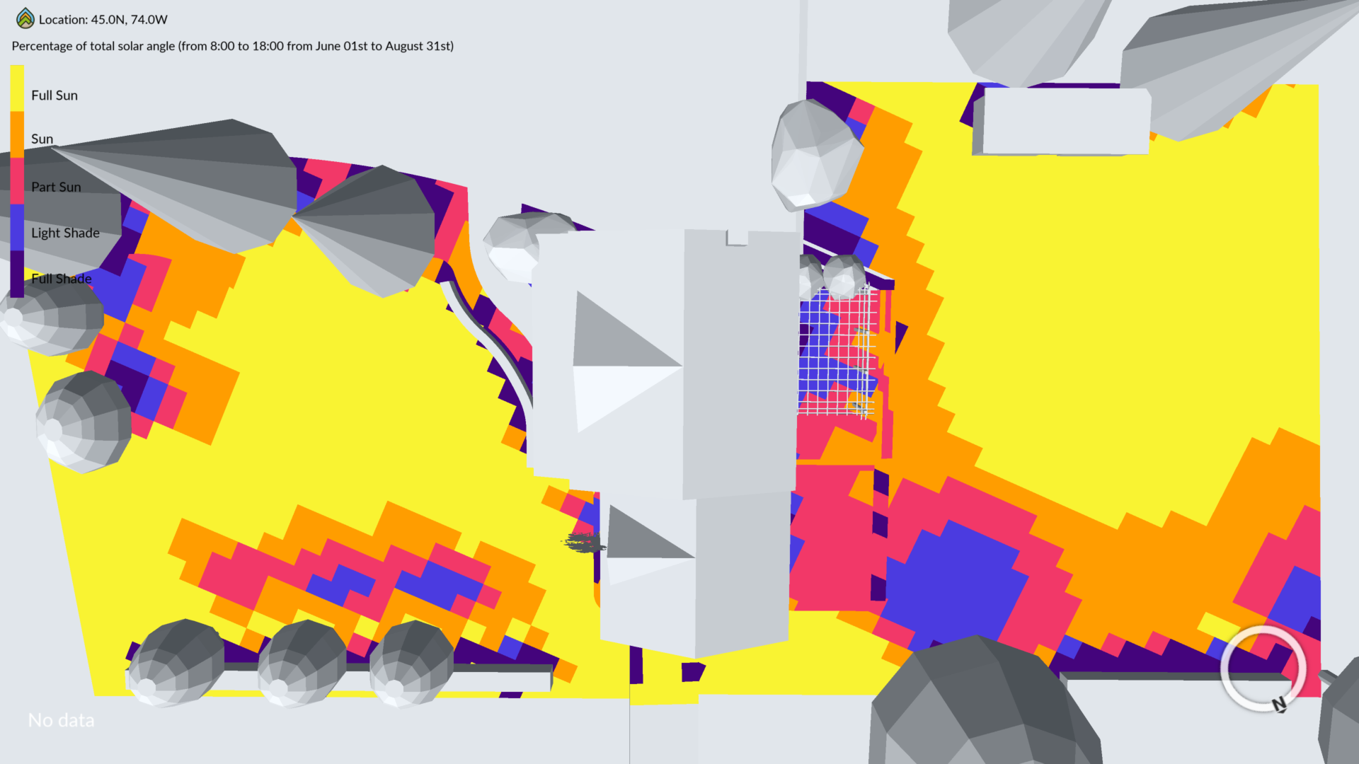
All Day


Afternoon
Sunscape Maps extension for Sketch Up calculates and displays accurate sun exposure during any selected day time span, and any date range, for any model surface.
No more guessing. With the touch of a button you see distinct sun exposure areas, from full sun to full shade on an imported facsimile of your model.
With Sunscape Maps you will confidently place plants in the sun exposure they need to endure sustainably and place and orient outdoor living areas to provide maximum functionality and enjoyment.
Successful planting and outdoor living area planning decisions are easier and more successful with Sunscape maps.
NOT READY TO BUY?
Get a 30-day trial of the Sunscape Maps Sketch Up extension.
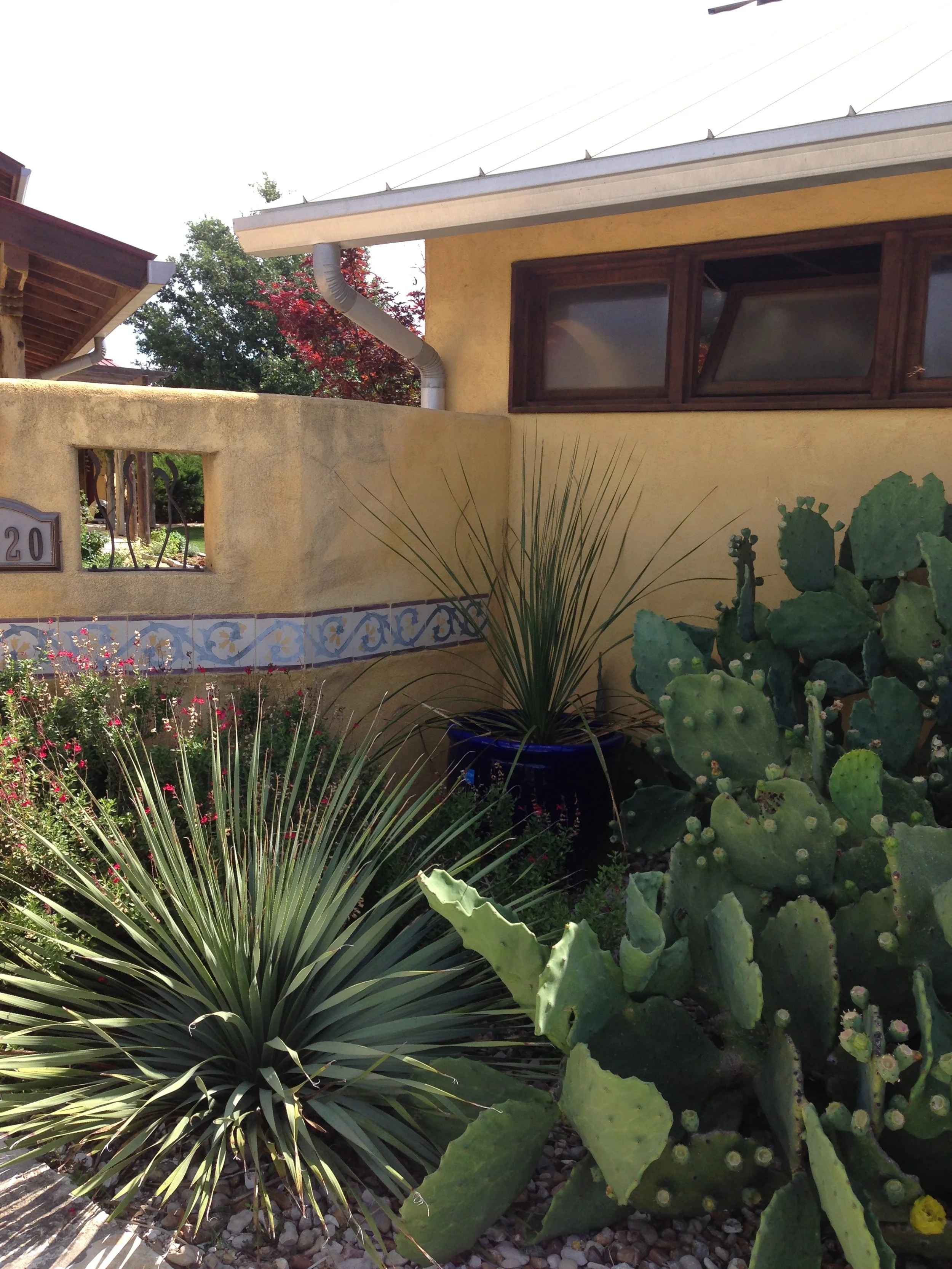
Ecoscape is driven by the goal of encouraging earth-sustainable behavior in landscapes.
We believe that by providing outdoor space designers with accurate sun exposure we empower decisions that result in enduring landscapes, that have no need of earth harmful chemicals or require the overuse of earth’s precious natural resources in landscapes.
Sunscape Mapping Extension was created by sustainable gardening and solar mapping experts with years of experience mapping sun exposure. Create beautiful, successful, sustainable landscapes with Sunscape Maps.
Sign Up to Receive Updates
Ecoscape is continuing to code nature’s rhythms. Look for additional sustainable landscape planning empowerment maps, coming soon.